
Area guide · Puna
Puna:
Rainforest Uplands & a Young Lava Coast
Puna is the island's eastern flank: rainforest towns like Keaʻau, Kurtistown and Mountain View in the cool uplands, the old plantation town of Pāhoa in the middle, and a young lava coast below where Kīlauea meets the sea. After more than 22 years on the Big Island, I still find its variety remarkable, and it is the district I send buyers to when they want land, privacy and a lifestyle that is unmistakably its own. It is also the district where the questions a buyer asks matter most, so this guide pairs the character of the place with what you actually need to verify before you commit.
The lay of the land
Where Puna sits on the island
Puna is the most volcanically active district on the island: it sits on the East Rift Zone of Kīlauea, and its land falls almost entirely within the USGS lava flow hazard zones 1, 2 and 3. Everything else here flows from that fact, from the rainforests of the upper slopes to the young black coastline below, so the overview below is as much about geology as geography.
-
East of Hilo, on Kīlauea's flank
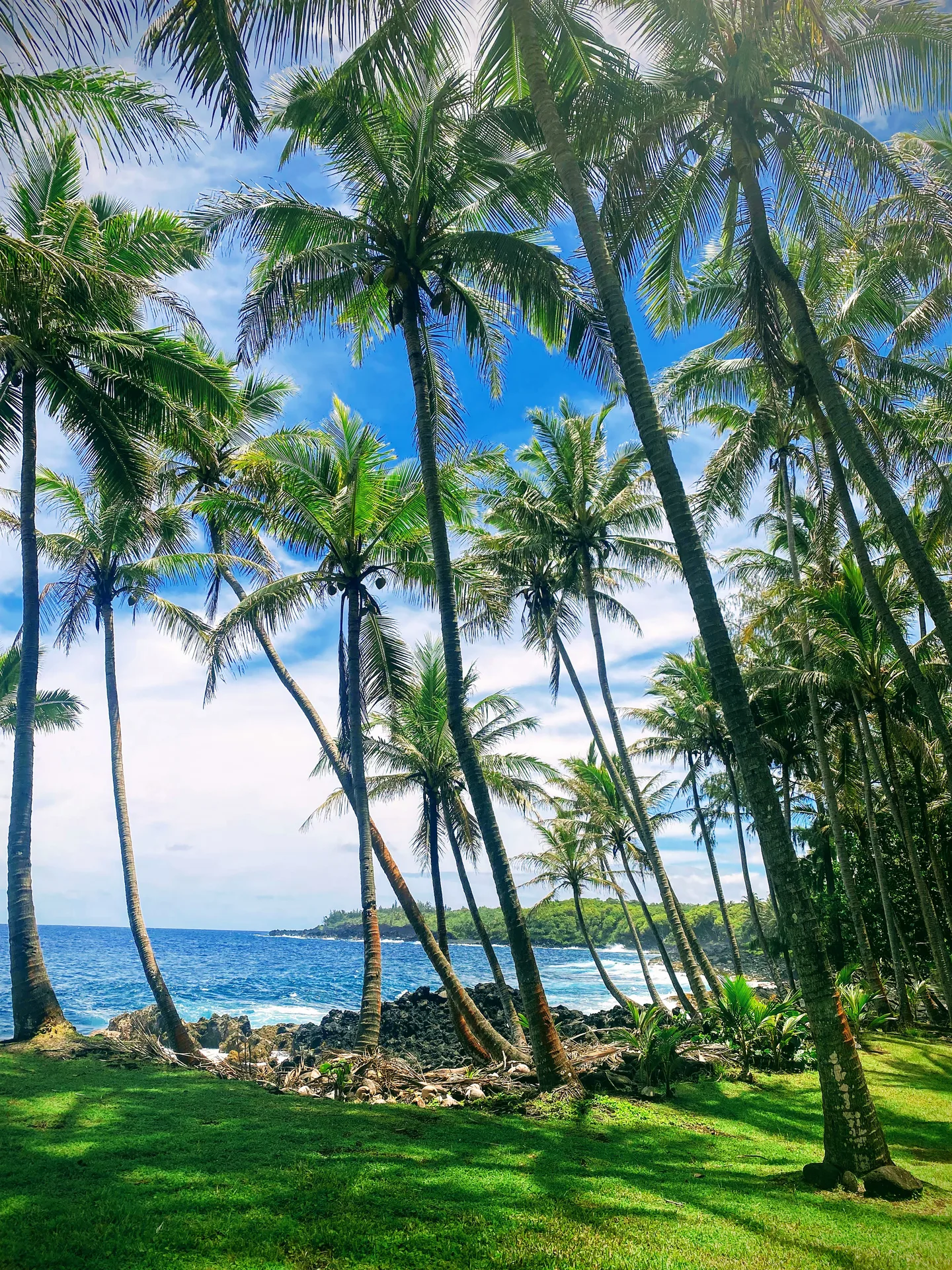
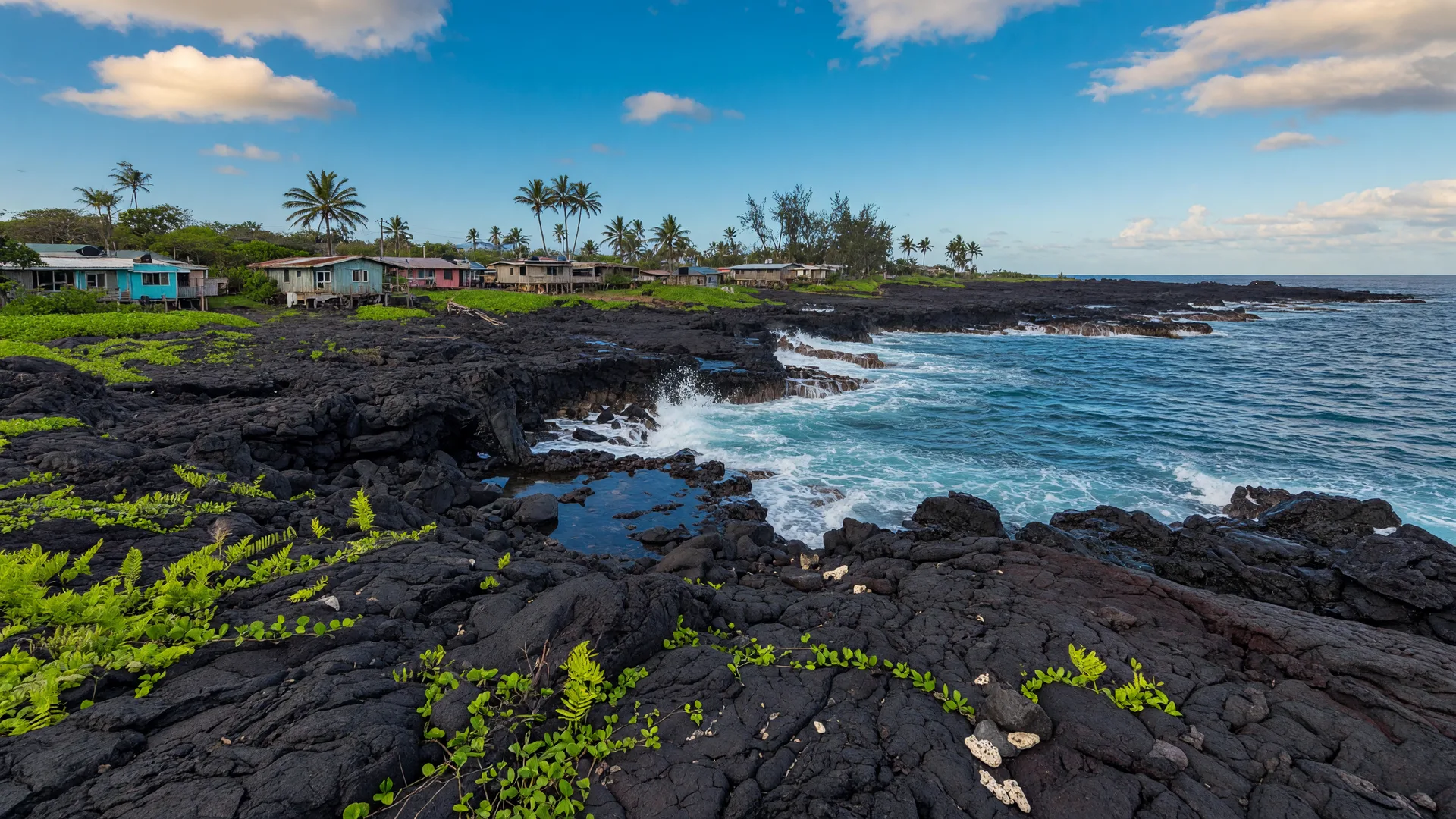
Puna is the island's eastern, windward district. It sits on the East Rift Zone of Kīlauea, and its gentle slopes run from rainforest uplands down to a young lava coast. Cape Kumukahi, at the district's eastern tip, is the easternmost point of the Hawaiian island chain.
-
A district of small towns
Keaʻau sits at the gateway near Hilo, and Pāhoa, the district's old plantation town, still runs along its historic wooden boardwalk. Kurtistown, Mountain View and Volcano fill the cool uplands, and between them lie large residential subdivisions: Hawaiian Paradise Park, Hawaiian Beaches, Nānāwale Estates, Orchidland and others, mostly on one-acre lots.
-
Upper Puna vs. lower Puna
The district's defining microclimate split is elevation and rain. Around Keaʻau, Kurtistown and Mountain View, the north side is rainforest: cool, wet and green, with more than 100 inches of rain a year in places. Toward Kalapana and Kapoho, the coast turns warmer and strikingly drier, with hot, sunny afternoons and a different rhythm entirely.
-
Farm and orchard country
Much of Puna is zoned agricultural, and small farms grow an astonishing mix: rambutan, lychee, citrus, flowers and more. The district is also home to Hawaiian Paradise Park, one of the largest privately owned subdivisions in the United States.
-
Hilo is the anchor
Groceries, hardware, healthcare, the airport and most jobs sit just north in Hilo, only minutes from Keaʻau and roughly a half-hour from Pāhoa. Most households plan errands around the district rather than expecting everything in their own town.
-
Volcano at the upper gate
The district's high edge reaches the cool ʻōhiʻa forest around Volcano Village, where the upper slopes of Kīlauea and the gateway to Hawaiʻi Volcanoes National Park sit at the boundary with Kaʻū.
The local view
A few real stops between showings in Puna.
Puna rewards slow exploration: a Sunday at the farmers market, a plate lunch in old Pāhoa, and an evening on the Kalapana shore. These are places I would happily send both buyers and friends. Real places, real addresses, real phone numbers, and always confirm hours before you go.
15-2131 Keaʻau-Pāhoa Rd, Pāhoa, HI 96778
4.6 · 150 reviews on Google
808-896-5537
12-5038 Kalapana Kapoho Beach Rd, Pāhoa, HI 96778
4.5 · 188 reviews on Google
15-2969 Pahoa Village Rd, Pāhoa, HI 96778
4.4 · 1,205 reviews on Google
808-965-5600
A few real stops between showings in the Puna district. Hours, menus and market schedules change, so always confirm before you go.
Buying in Puna
What buyers need to understand before the offer
Puna rewards parcel-level due diligence more than almost any district on the island. Land here is comparatively affordable and the lifestyle is genuinely distinctive, but the questions run deep: lava zone, water source, fire protection, roads, wastewater and a parcel's own volcanic history. I wrote the full checklist in my Journal post about Buying in Puna; the essentials below are the ones I check with every client.
-
Lava zones come first
Puna spans the USGS hazard zones 1, 2 and 3. Zone 1, the highest relative hazard, includes Leilani Estates, Lanipuna Gardens and Kapoho; Zone 2 covers places like Pāhoa, Nānāwale and Hawaiian Beaches; Zone 3 runs through Keaʻau, Kurtistown, Mountain View and Volcano. Insurance and financing decisions commonly follow the zone, so the parcel's TMK gets checked against the hazard map itself, not against a subdivision name that can span more than one zone.
-
Water: catchment is normal, but not automatic
County water serves parts of Mountain View, Pāhoa and Kalapana, a private system serves Hawaiian Beaches, and much of rural Puna runs on catchment: roof, tank, pumps and filtration. That is normal and workable if the system is well maintained. The questions are practical: tank size, pump condition, filtration, and the habits a dry season demands.
-
Fire protection: tanks are not hydrants
A large catchment tank, even 20,000 to 30,000 gallons, is not automatically an approved fire-protection system. County projects have added waterlines and hydrants in Nānāwale Estates, Hawaiian Paradise Park and Pāhoa, so ask what the parcel actually has.
-
The 2018 eruption reshaped the district
The 2018 Kīlauea eruption destroyed more than 700 homes and reshaped lower Puna, its roads and its infrastructure. Even properties the lava never touched can be influenced by rebuilt roads and utilities assigned to suit a changed landscape, so ask what happened on and near the parcel, and what has been rebuilt since.
-
The rest of the checklist
Road access matters twice: whether the road is public or private, and whether it is maintained by the county or by residents. Distance to services shapes daily life, and septic systems, climate and insurance each deserve their own question. None of these are deal breakers by themselves; together they are the due diligence.
-
Financing and insurance follow the zone
The zone, the water source and the construction determine what lenders and insurers will do. Have those conversations early, before an offer is on the table, not after.
The full checklist, start to finish
Lava zones, catchment, fire protection, roads and the practical buyer list I use on every tour, laid out step by step in the Journal.
Practical notes
Getting there, getting around in Puna
Hilo is the gateway, and nearly every Puna route begins there. The district is drivable in a day, but time the drives out before you pick an address.
Hilo is the gateway
The airport, hospital, largest grocery stores and most jobs sit in Hilo, minutes from Keaʻau and roughly a half-hour from Pāhoa. Most households run errands on the Hilo side at least weekly.
The roads
Highway 11 curls through Kurtistown, Mountain View and up to Volcano; Highway 130, the Keaʻau-Pāhoa Road, runs south through Pāhoa toward the coast. Route 137, the coastal Red Road, now runs from Kalapana and ends at Pohoiki, at the foot of the 2018 lava field.
Services close to home
Keaʻau and Pāhoa carry groceries, hardware, fuel and clinics, which handle everyday care. There is no hospital in the district; the nearest full hospital is Hilo Medical Center, roughly 30 miles from Pāhoa.
Check connectivity
Internet and cell service vary by subdivision and by street. Verify the exact address, ask what is actually installed rather than what is advertised, and test it during a visit.
A practical note on rural roads: many subdivision roads are unlined gravel or dirt, some are private and maintained by residents, and wet weather changes them quickly. Drive the actual route to a property on a rainy day before you commit.
Puna could be your part of the island.
Tell me what draws you to the windward side, and I'll help you verify the parcel, understand the zones, and decide with confidence.